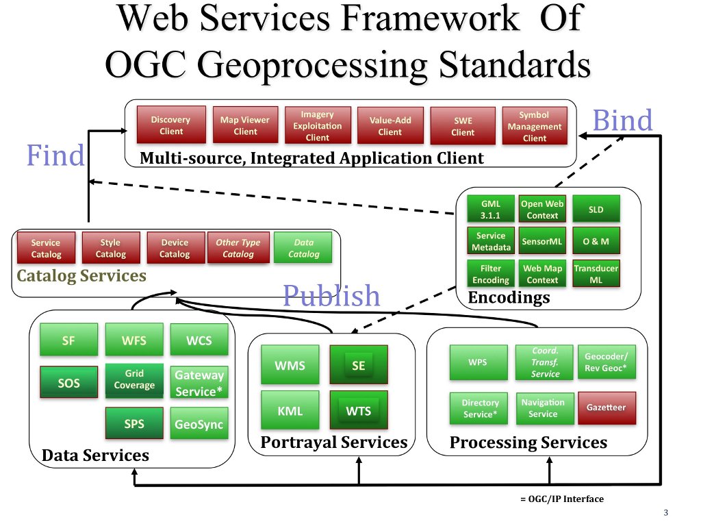
Open Geospatial Standards

Geospatial standards are critical to solving many problems. Standards allow us to share and use data. Standards are likely to evolve to allow new tools such as Spatial Internet of Things (IoT) and spaces such as indoor mapping. The main hurdle to creating and using standards is social than technical.
In a MapScaping podcast where OGC has been and where it is going is discussed, along with the hurdles and need for geospatial standards.
Why are Geospatial Standards Important? Geospatial standards, at their core, are what we agree on as a community. The location connects concepts and standards that allow interoperability so that location data can benefit various users.
Where are Geospatial Standards Still Needed? While it may seem that now we have over 100 standards that we have reached perhaps a plateau of a need for standards, the reality is we need more, particularly as new technologies and tools are coming online or made available almost every day.
